Projects/Series
Spending the time to work on and create a series of photographs gives the photographer a unique body of work that represents his or her true passions. It creates a better likelihood for recognition because, as a group, a series of photographs gives a photographer a stronger voice. It also creates more marketing options in that a series can be used in a potential book and or for print exhibition.
The images shown in these series galleries represent only a choice number of images as most of these series contain many more images.
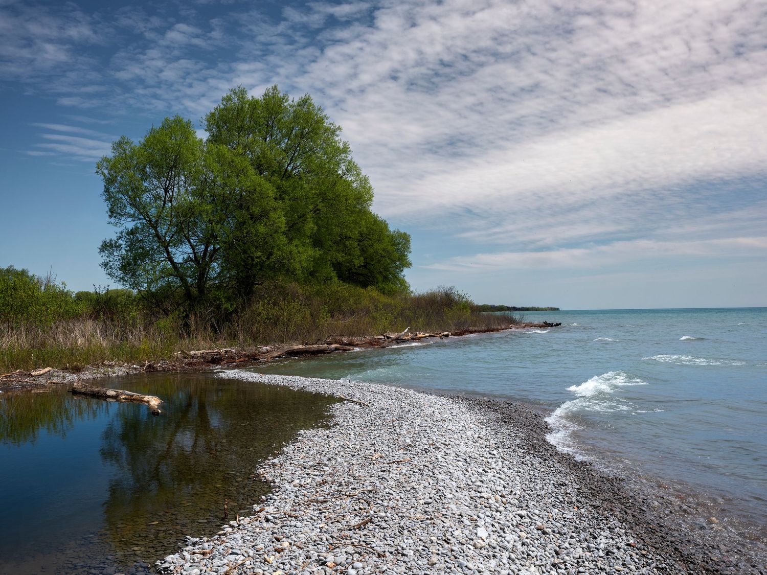
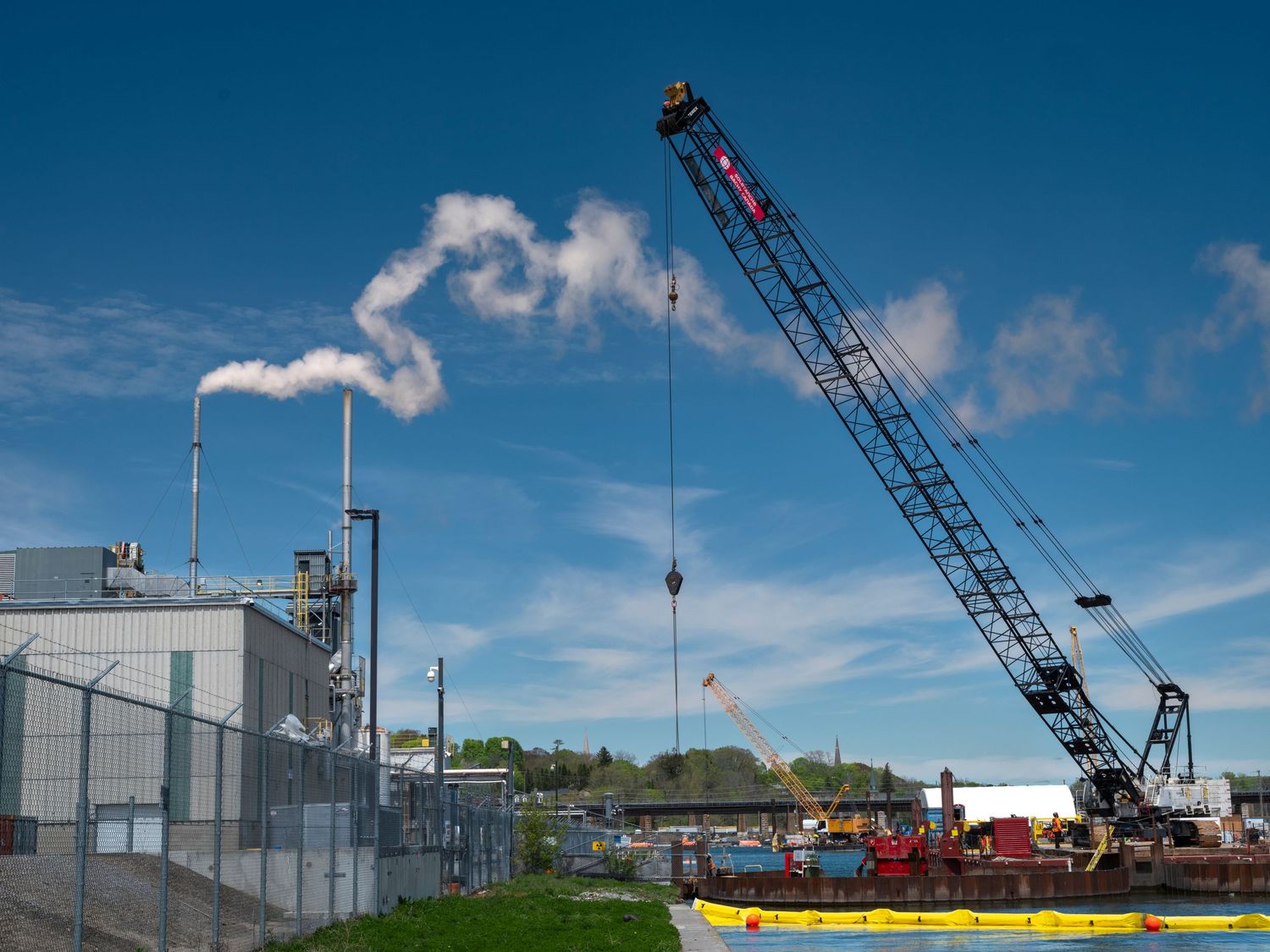
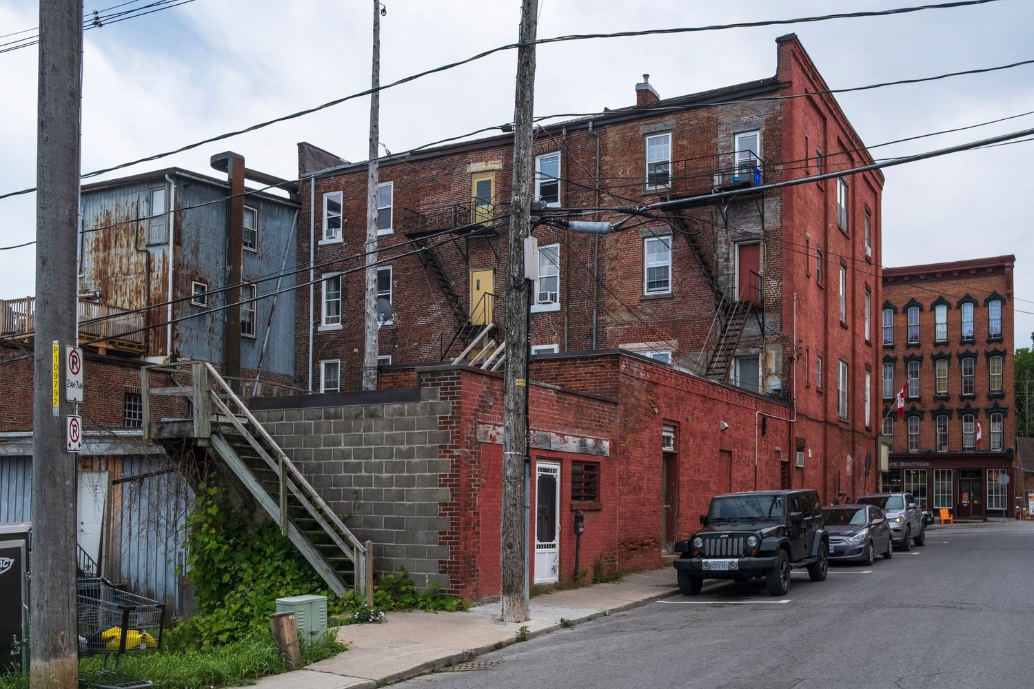
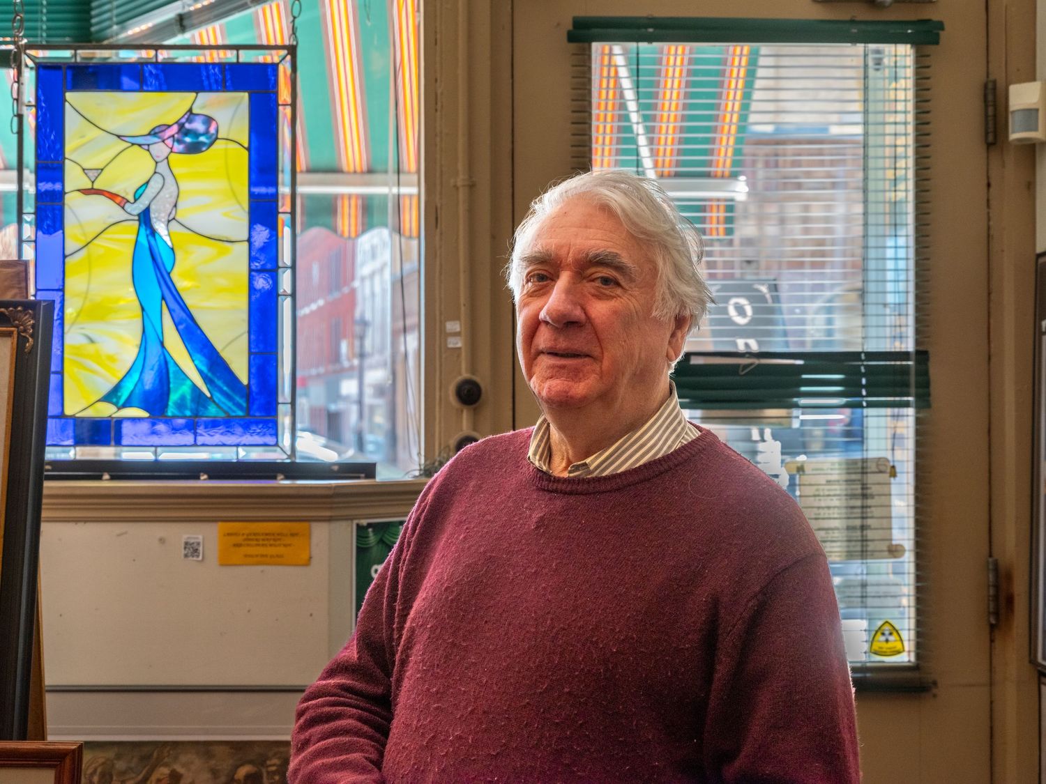
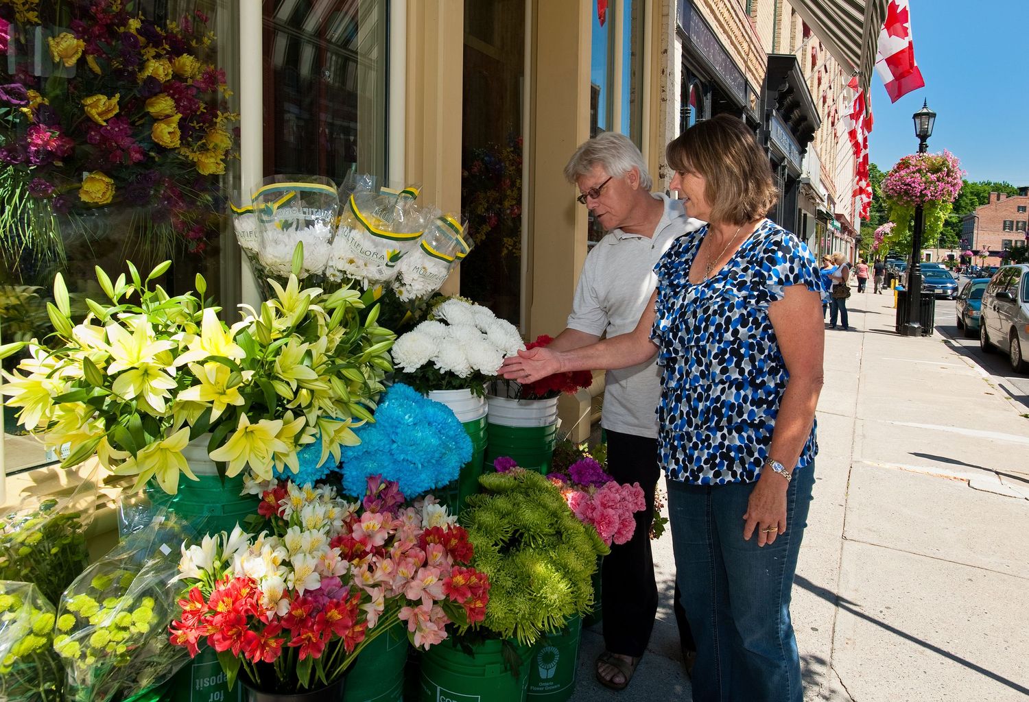
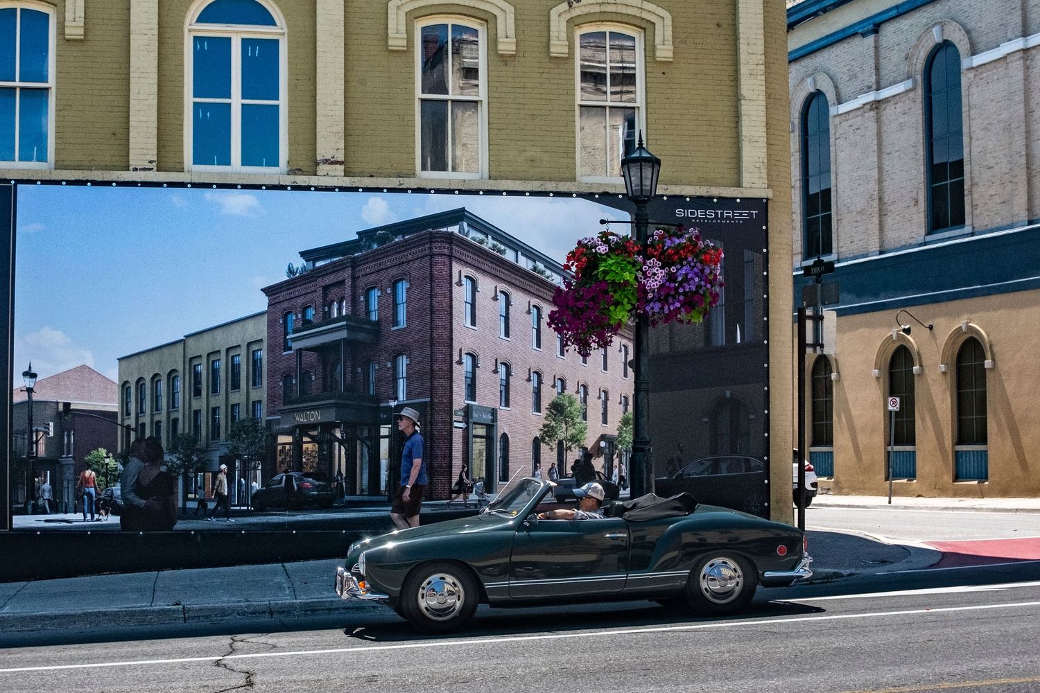
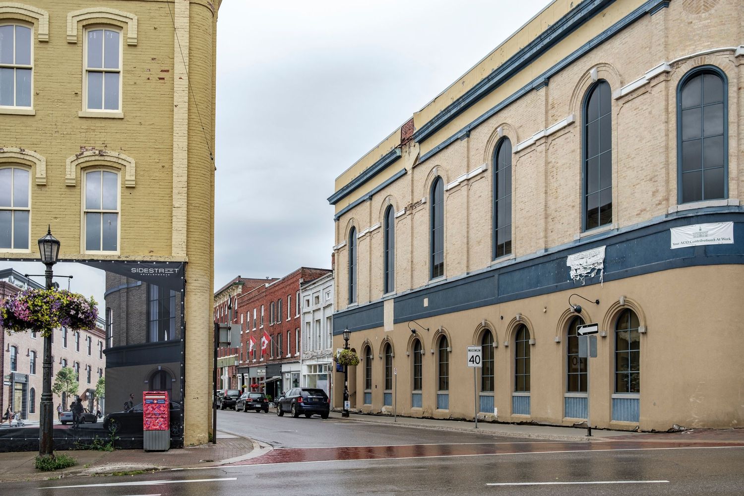
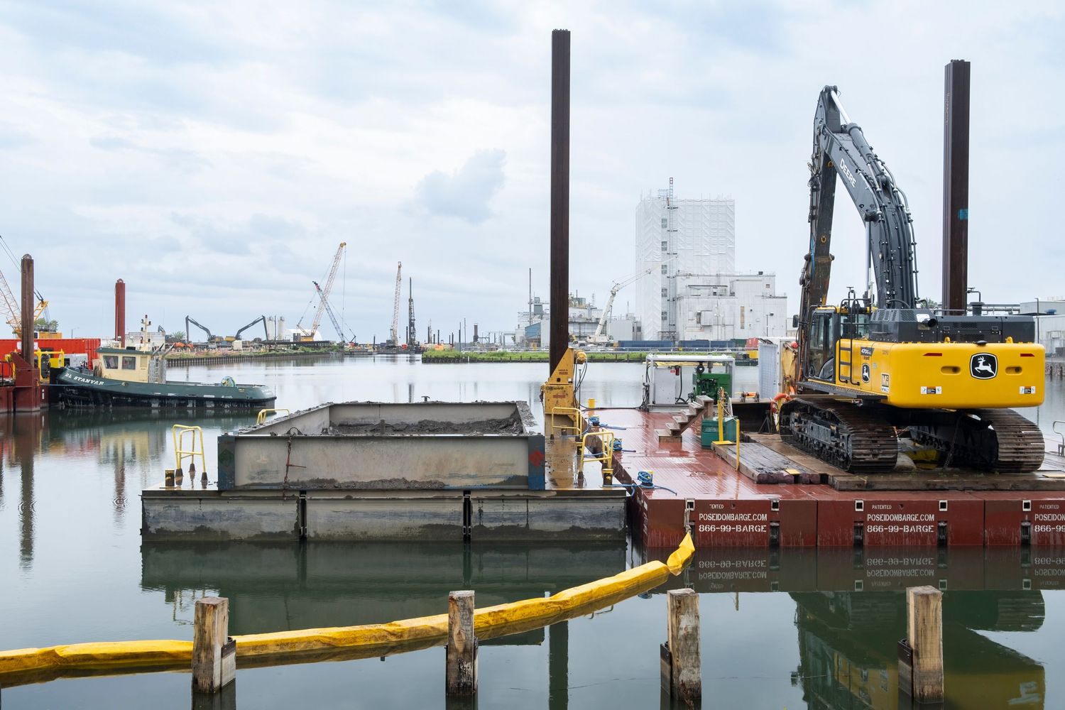
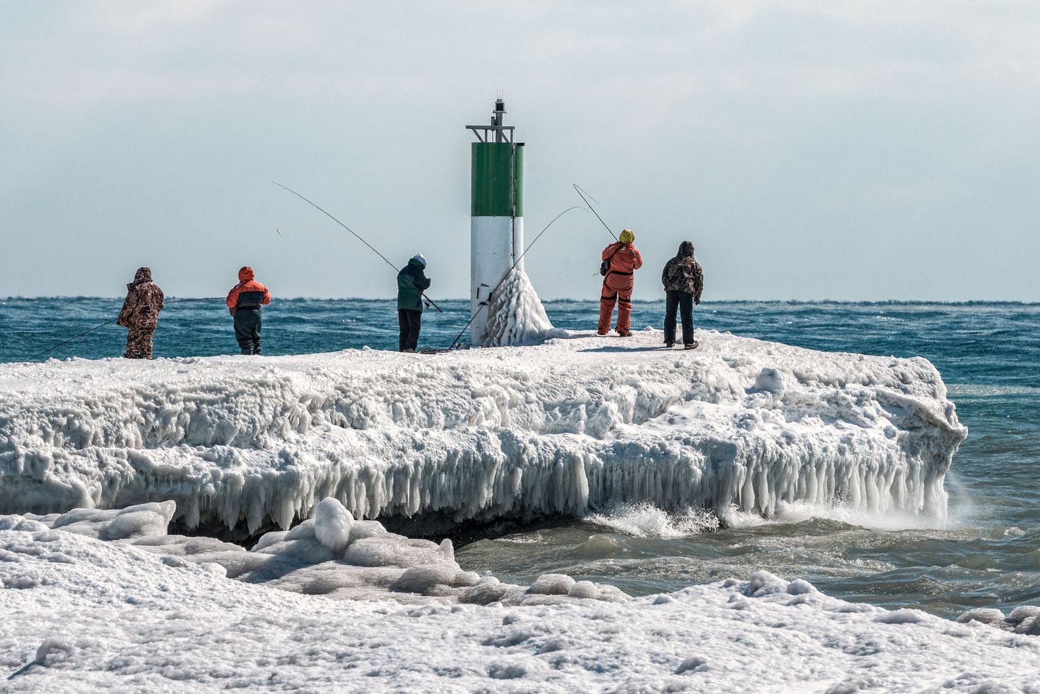


Port Hope, Ontario
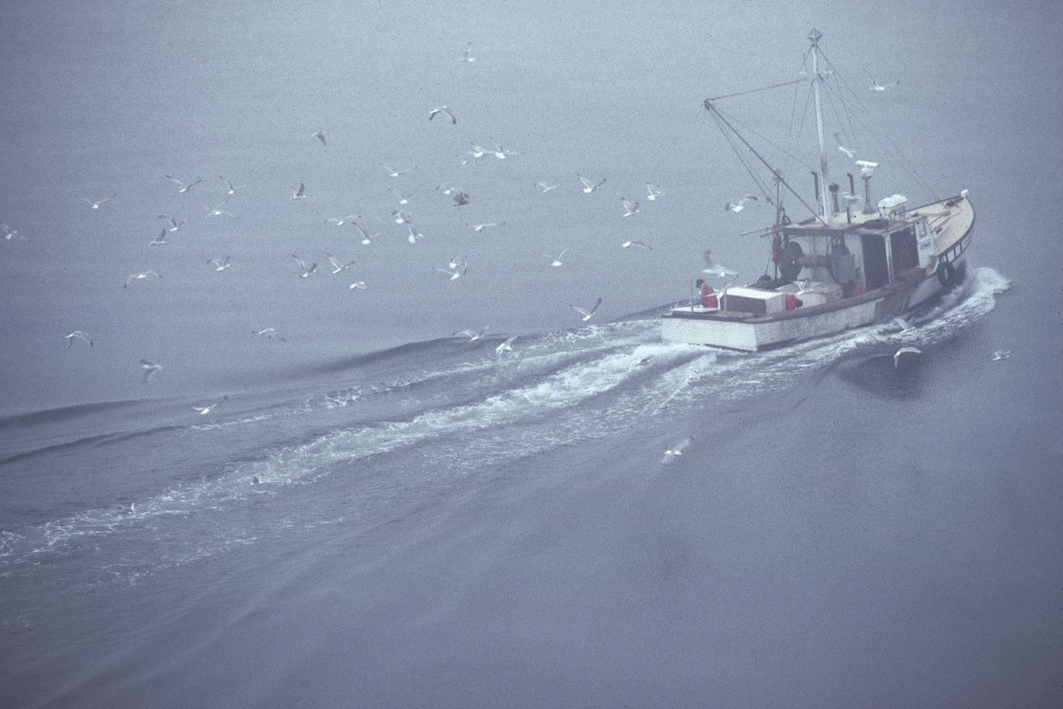
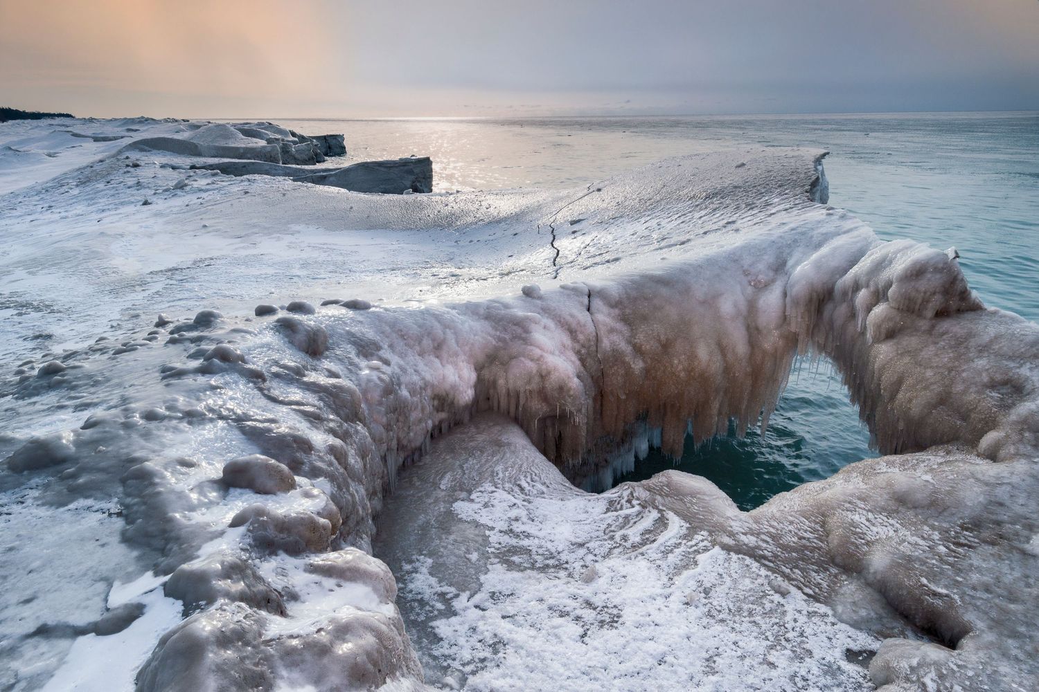
Safe Harbour Series
Geographically Port Hope is located on the north shore of Lake Ontario, where the Ganaraska River empties into the lake. It is 108 kilometers east of Toronto and 158 kilometers west of Kingston in Northumberland County. The downtown is located in the Ganaraska Valley on the floodplain with bowl like uphill’s located on both sides of the city. The waterfront area is a major transportation corridor for CN and CP railways running between Toronto and Montreal. Also, highway 401, Ontario’s largest highway passes through the north end of the city.
"Great work is always the result of great labour." Garry Winogrand

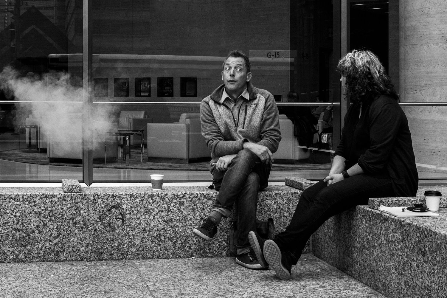


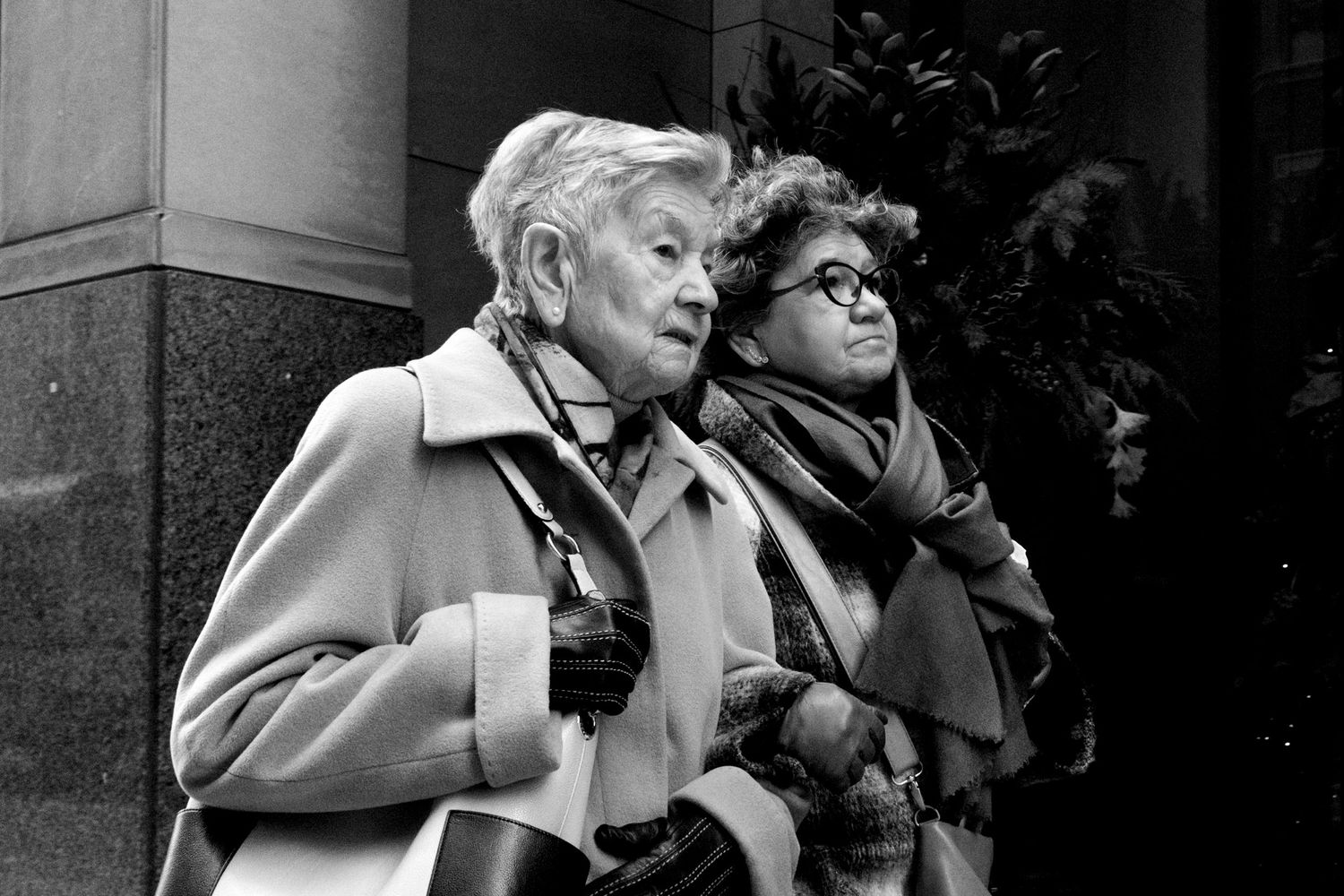

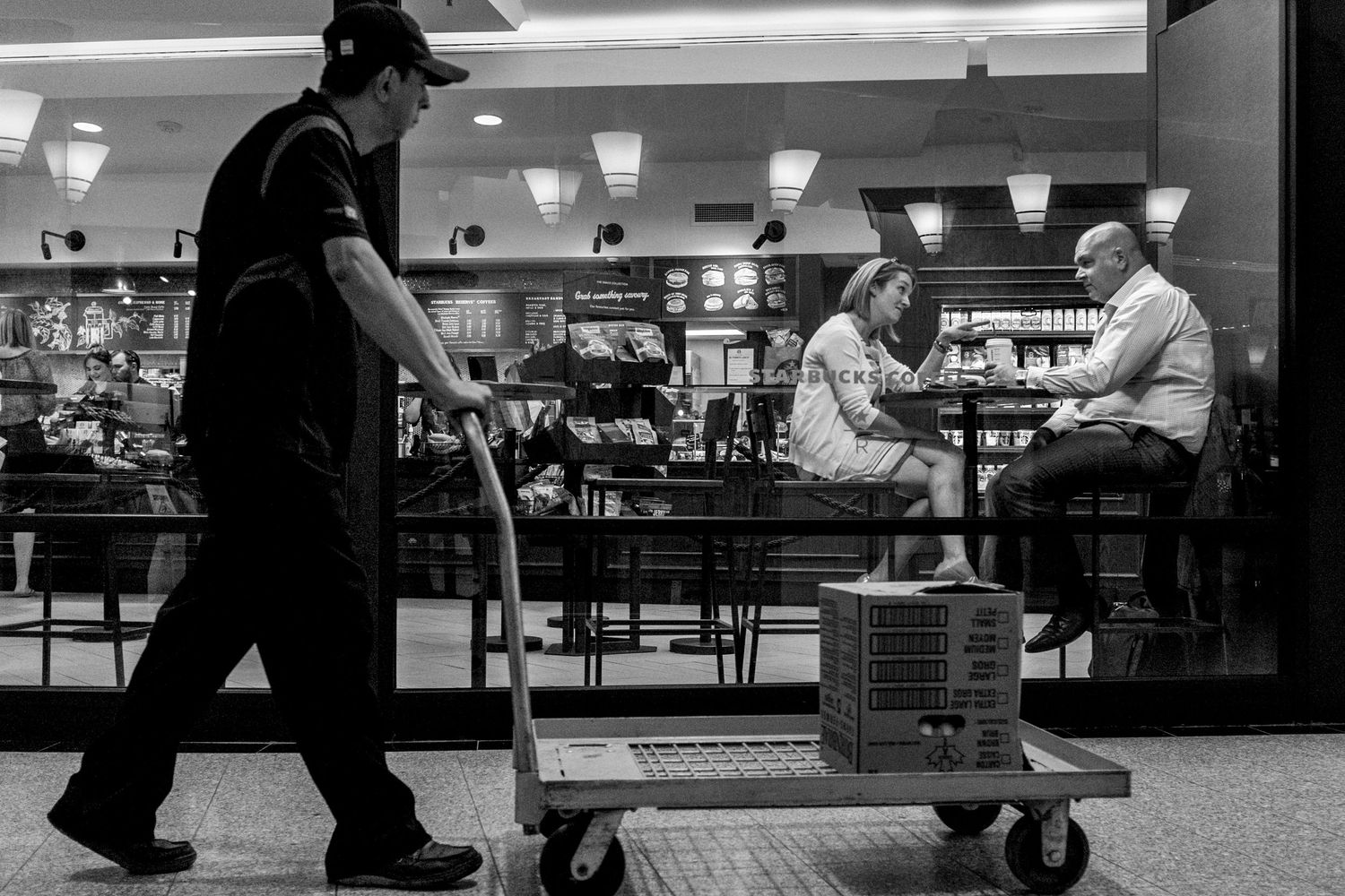

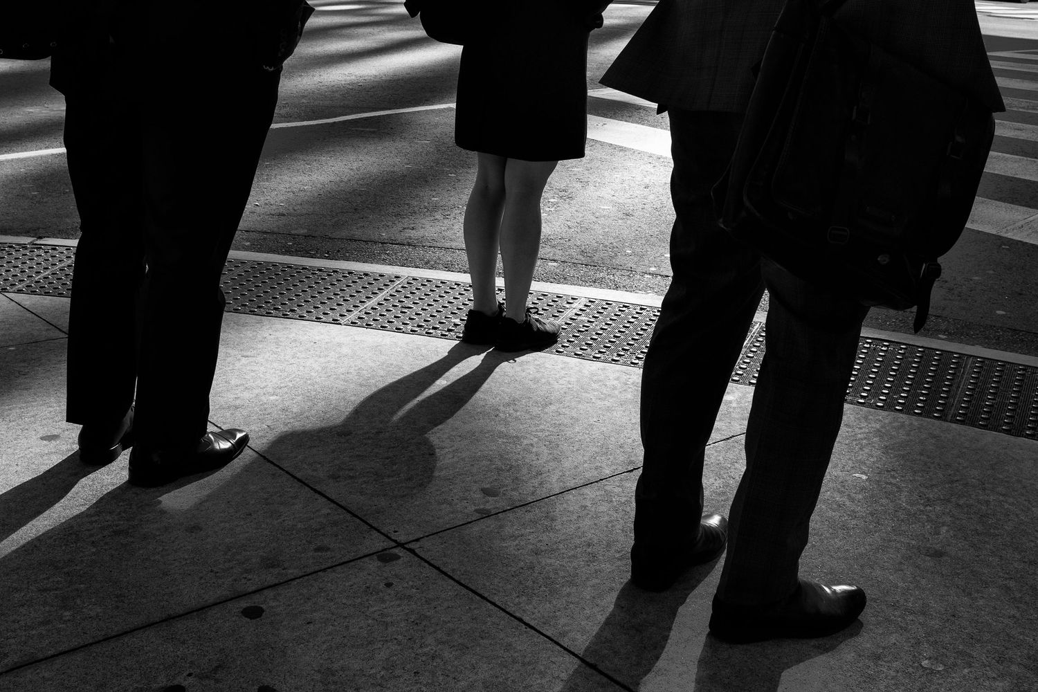
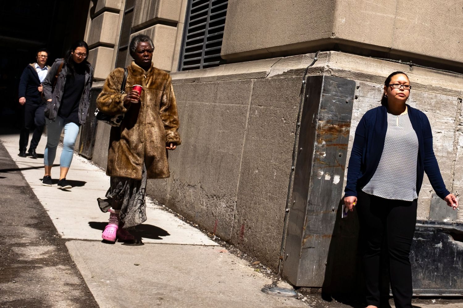
Transitory Inhabitants
The mass influx of people into and out of Toronto’s downtown financial district during the weekday is the focus of the project. It has been estimated that 250,000 people per day commuted into the downtown core every workday during the 2016 to 2020 period. Toronto’s downtown is characterized by tall skyscrapers, home to Canada’s largest concentration of banking and financial services, and the financial district is second in size in North America only to New York City.